Showing posts with label Antelope Island. Show all posts

Thursday, April 19, 2018

Hiking: South Willow Canyon

One of my goals this year in hiking was to explore the Stansbury Mountain Range a bit more. In particular, there is a road called "Mining Fork Road" that I have been wanting to find out about. In 2016 I had been on the road twice, but never to either end of it. Thus, I had no idea if I could drive it, and I only found out recently where I would end up if I did. In my travels around the area, I had yet to find the beginning of the road, so I thought the best way to do that, would be to get on it on foot and follow it.
To do that, I had to head up to Medina Flat Trailhead in South Willow Canyon. The Medina Flat Trailhead is part of the Stansbury Front Trail system.
Nice views of the Oquirrh Range to the east

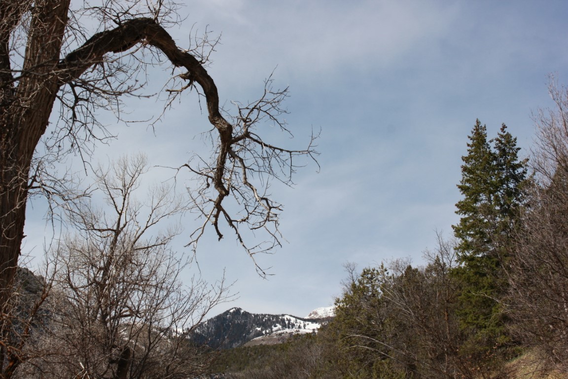
The surrounding peaks with their snow cover were Beautiful

Another couple of miles up the road from the turnoff to Medina Flat is the Loop Campground and that's where the trailhead to Deseret Peak is located. Another one I'd like to do again and soon.
I arrived about 8:30 and began my hike. The weather was cloudy, and the trail was muddy from the recent snowstorm we had. Most of the snow was melted off the trail leaving a gooey mess in places that clung to the soles of my hiking shoes and added at least a pound to each shoe. As soon as I got to a less muddy spot, I scraped off my shoes. It reminded me of the days of my youth when I had gone on a summer camp as a Boy Scout, which included hiking in for about 27 miles. Luckily we had pack animals. However, on the day we hiked out, we had to deal with mud left over from a torrential downpour the day before, and the huge slaps that accumulated on the soles of our boots. I don't think I have ever been so tired at the end of a hike!
Today's hike wasn't like that and served only as a reminder of things of the past. There were also more pleasant memories of this trail that I decided to spend time thinking about. Like the time the wildflowers were in full bloom which is depicted in the main picture with me in it at the top of my blog.
Probably about 1/2 mile along this trail, it goes down into a canyon and crosses Mining Fork Road. I had already decided that this month I would follow it to the east to try and discover where the road began and to determine if I could get on it somewhere in my vehicle. There were tire tracks on it, so I was hopeful. I was planning on coming back again later on in the year when the snow has melted to find the end of the road. I have already found out that it ends at South Willow Lake, but have yet to visit that lake.
I headed east on the road and it went out to a point which was the furthest I had been on it in the past. There is a fabulous view from this point. The overcast sky made the view not quite as spectacular as it could have been, but it was still Beautiful. Great views of the Great Salt Lake, Stansbury Island, and Antelope Island were to be had from this and  many other vantage points along the route.
The northern edge of the Oquirrhs and the Great Salt Lake

Visible in the haze, the Great Salt Lake, Stansbury Island, and Antelope Island
At that point the road switchbacks to the west and heads down. I followed it for maybe a mile and another switchback or two before it settled in on top of the ridge between South Willow Canyon and North Willow Canyon. At this point the sun began peeking out a bit now and then, but it still remained largely overcast.
There are a lot of interesting geological formations and rock specimens in the area.

Picturesque peaks of the Stansbury Range
I couldn't figure out what this was. Mining stuff maybe?

I followed it for another mile down the ridge before running into a "No Trespassing" sign. At this point I could see the main road going up South Willow Canyon down below and since I didn't want to trespass, I headed down the mountainside, through the junipers and sliding scree. About fifty feet above the main road, I found a nice rock to take home to Ann and I took it with me the rest of the way. I got down to the road, put the rock down where I could find it, as it was too big to carry back to the trailhead,  and began the two mile walk back up the road to where the 4Runner was parked at Medina Flat.
This photogenic truck was parked at one of the cabins.
I had come down near the cabin area and a guy was outside working at one of the cabins and came over and talked to me a bit. I told him about where I had been and the "No Trespassing" sign and how I had decided to come down the mountain.


Later on, when I was just about back to the vehicle, an older guy in a Jeep pulled over and talked to me, asking me where I'd been. I told him the same thing I'd told the other guy and he said "that's my niece's property". I said, "Oh, okay." We then spent a few minutes talking about whether or not I'd seen any deer or turkeys up there. I hadn't, but I'd seen tracks of both, and I mentioned that I had seen a couple of turkey hunters on Mining Fork Road a couple of years ago. He said that both the turkeys and deer had been a bit scarce up there the last year or so. We said our good-byes and I took a couple of pics then got into my vehicle and drove home. Disappointed that I hadn't accomplished my goal of finding the eastern end of the road, and still not sure if there was a way to get on it without crossing private land, but thrilled that I had had another great  adventure. We always discover something even though it's not always what we had planned on discovering. Today was one of those days, but I would be back for more adventure and more discovery in the weeks and months to come.
There's always more adventure to come.

Sunday, October 22, 2017

Hiking: Antelope Island, Frary Peak

Bison are frequently spotted on the island.
I think one of the most interesting hikes around the Salt Lake Valley, is the hike to Frary Peak on Antelope Island. The actual elevation of the peak (6596 ft.) isn't high in relation to the peaks of the Wasatch or Uinta Mountains--or even the tallest peaks in the Oquirrhs--but the landscape is entirely different. Pretty much barren of trees, although there are a few junipers here and there, and down in the ravines you can see small clumps of oak, maple, or some other deciduous trees, the landscape is mostly grassland and sagebrush. And the geology is different as well with dark rock outcroppings appearing throughout the peaks and ridges of the island.

The hike itself is best done in a season other than summer as I would wager that it gets pretty hot in the summer months and there is virtually no shade. Fall is the perfect season to do it, and my brother Mike and I found out to our relief that the no-see-um flies had maybe died off for the year. I wouldn't bank on that though. Antelope Island is always a place where you should have bug spray on hand as there are times when the biting flies can be maddening.
Wildlife is plentiful if you take the time to search it out on the hillsides and down in the flatlands. Bison are often seen along the trails and from the ridges you can look down and spot groups of them feeding on the grasses. Saturday, when Mike and I went on our hike, we spotted numerous buffalo and on the way out, a herd of deer down in the lowlands. Some others along the trail had spotted a Bighorn sheep and other wildlife that we hadn't seen.
At this low altitude, wildflowers are still around if you look.
This sunflower was calling my name.

Early portions of the trail are steep as it makes its way up to the ridge. There is a 2050' elevation gain over the course of the hike, and much of that is in the first mile.  Once you are up high, it levels off and only occasionally climbs or drops steeply, most of the time the trail crisscrosses the ridge allowing views of the Great Salt Lake to the west, and the Wasatch Range to the east. The higher you get, the more expansive the views and you can see south to the Oquirrh Range, Southwest to the Stansbury Range, Stansbury Island directly west, Promontory Point way up north, and many other points of interest.
View west with Stansbury Island in the distance.

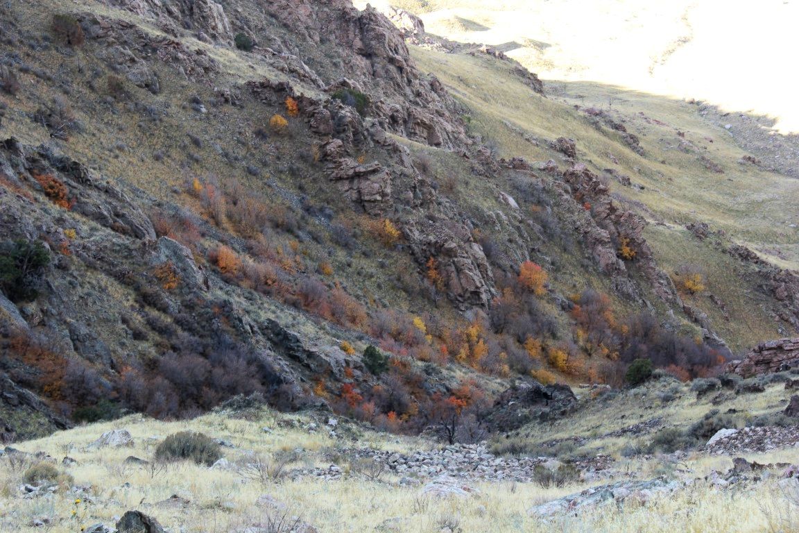
There are still some fall colors on the way to Frary Peak

Stansbury Island with whitecaps on the lake in the foreground.
The trailhead sign says that it's a 3.2 mile hike and there are markers every half mile along the trail. I think that the 3.2 miles is a bit off now, because they have redone the trail on the last portion in the past couple of years and it is longer as it curves around the peak and goes up gradually, instead of the nearly straight up "stairs" from years gone by. I don't think they have yet changed the mileage posts to reflect this new trail, but I would guess it added another quarter mile to the trek.
I got a bit higher and took a pic of Mike down on the trail.
That being said, it's a doable trail for most people who aren't in horrible shape. If you are not in great shape, going slowly will help you to make it to the top, where the reward for the effort is pretty amazing.
Mike looking like a viking explorer.
On top, look for the USGS marker. It's on top of a rock right where the trail gets to the top. That is the highest point, and it's worth standing on just so you can say you made it to the very top. The cairn in which a mailbox is placed for writing notes may be a bit higher, but my recommendation is that you avoid standing on that, as it will fall down, and you with it.
Don't stand on the cairn!!
You won't find lodgepole pines, aspen, or thick underbrush up here. What you will find especially if you can go during the week, is peace, and solitude, unusual landscapes, and amazing views. Well worth the few hours of your time to do this adventure.
Looking southeast from the trailhead, Wasatch Mountains in the distance.

Saturday, April 11, 2015

Frary Peak - hiking Antelope Island

Yesterday's hike was amazing. First of all, know that it's about an hour and a half drive from my house to the trailhead for Frary Peak, which is on Antelope Island in the Great Salt Lake. I wanted to get there early so I could capture the sunrise from the island with my camera, so I left the house at 4:30 (I was up at 3:45 getting ready). I arrived at the gate just about 5:30. I had checked online the night before to see when the gate opened, and the info had said 6:00, but having been there before when the gate was opened earlier, I decided to try it just in case.

Actually, I believe this was a new gate put in since two years ago (the last time I got there that early) and it was on a timer, I think. It wasn't open as I had hoped, so I had a half hour to kill in the dark waiting for it to open. I was tired because I got up so early, but I didn't want to tilt the seat back and try to sleep for 30 minutes, because I might keep sleeping and miss the gate opening. I looked out the window and saw the moon and thought I'd like to try taking a picture of it with my new zoom lens. I dug that out of my pack and stepped outside. Since I didn't want to set up a tripod, I free-handed it. Here's what I got:

So, when I actually was looking at the moon, it had a halo around it. For some reason, my camera moved this halo to the left of the moon, and as you can see, the moon is quite blurry. Of course, that's due to my not using a tripod. I think it kind of looks like how the sun might look from a spacecraft.

At about 6:04 the gate finally opened and I drove to the east side of the island, to the trailhead. The hike started out amazingly well. I was feeling alive and vibrant--great actually. I kept the long lens on the camera thinking that now would be a great time to experiment with it and find out what it could do. The moon was still up as it began to get light and I tried to get a good picture of it with mountains, birds, etc., in it. Here are some of them:

Again, this was free hand and I think for being free hand, I got a great image.


After I took the picture of the moon over a small peak (not Frary Peak) I took a few more pics and then finally did my last moon pic of this raven with the moon beside it:


Of course, as I do on every trip, I took some flowers home to Ann. Here are some of them:

I didn't see any close-up bison like I have before, but I saw these mule deer across the way. They were skittish and I had to use the full 300 zoom power of the lens to capture an image of them:


It was only a little over two and a half hours before I made it to the top. Just before the top there is a place where you have to go down quite a ways and back up again. It is the steepest part of the trail. Here's a pic of the top of Frary Peak from an adjacent peak, that makes it look much easier than it is:

That image in no way shows how far you need to go down, or how challenging the climb is back up, but I finally made it to the top, as shown by this U.S.G.S. marker:


From the top you can see a long ways. You can see how low the water is in the lake. Here's a picture of that with a vast stretch of beach that isn't there when the lake is full:
Of course, there was me up there taking the pictures. I was hungry for second breakfast by then so I dug out my peanut butter sandwich (Krema Peanut butter, which is peanuts only, and blackberry preserves), and some dried apricots.


Of course, I needed more documentation that I had actually been there. I was setting up my tripod to take my own photo when a couple of young guys showed up. I went out of my comfort zone and asked if one of them would be willing to take my picture. I guess I asked the right guy because he told me after he took a few shots that he actually had tried to take people's portraits for a living, but it wasn't steady work because too many people had digital cameras these days. Anyway, here's one of the pics he took of me:


So, I actually did make it to the top. All in all it was a great early morning hike. I'm not sure if I burned off an entire pound. I was tempted to stop at the gym where I normally weigh myself and see, but I would've needed to dress in my gym clothes instead of my heavy blue jeans and long johns to find out. I'll have to wait until Monday. As for the lens, it did pretty well until the little switch on it that switches it from "Normal" to "Macro" got stuck on "Macro". I couldn't fix it and don't know if that's permanent or not. I will have to work on it later.

If you go to Frary Peak, or anywhere on Antelope Island, take bug spray. I got up there early enough that I missed most of the biting no-see-ums on the lower part of the trail, but everyone I met coming up was complaining about them, and they were there in force the last time I hiked that trail. Consider this a fair warning!