One of my goals this year in
hiking was to explore the
Stansbury Mountain Range a bit more. In particular, there is a road called "Mining Fork Road" that I have been wanting to find out about. In 2016 I had been on the road twice, but never to either end of it. Thus, I had no idea if I could drive it, and I only found out recently where I would end up if I did. In my travels around the area, I had yet to find the beginning of the road, so I thought the best way to do that, would be to get on it on foot and follow it.
To do that, I had to head up to Medina Flat Trailhead in South Willow Canyon. The Medina Flat Trailhead is part of the Stansbury Front Trail system.
 |
| Nice views of the Oquirrh Range to the east |
 |
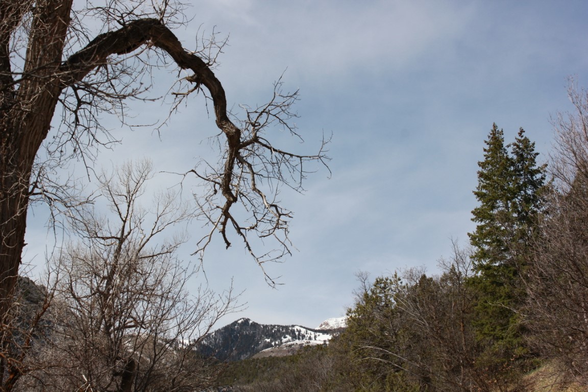
| The surrounding peaks with their snow cover were Beautiful |
Another couple of miles up the road from the turnoff to Medina Flat is the Loop Campground and that's where the trailhead to
Deseret Peak is located. Another one I'd like to do again and soon.
I arrived about 8:30 and began my hike. The weather was cloudy, and the trail was muddy from the recent snowstorm we had. Most of the snow was melted off the trail leaving a gooey mess in places that clung to the soles of my hiking shoes and added at least a pound to each shoe. As soon as I got to a less muddy spot, I scraped off my shoes. It reminded me of the days of my youth when I had gone on a summer camp as a Boy Scout, which included hiking in for about 27 miles. Luckily we had pack animals. However, on the day we hiked out, we had to deal with mud left over from a torrential downpour the day before, and the huge slaps that accumulated on the soles of our boots. I don't think I have ever been so tired at the end of a hike!
Today's hike wasn't like that and served only as a reminder of things of the past. There were also more pleasant memories of this trail that I decided to spend time thinking about. Like the time the wildflowers were in full bloom which is depicted in the main picture with me in it at the top of my blog.
Probably about 1/2 mile along this trail, it goes down into a canyon and crosses Mining Fork Road. I had already decided that this month I would follow it to the east to try and discover where the road began and to determine if I could get on it somewhere in my vehicle. There were tire tracks on it, so I was hopeful. I was planning on coming back again later on in the year when the snow has melted to find the end of the road. I have already found out that it ends at
South Willow Lake, but have yet to visit that lake.
I headed east on the road and it went out to a point which was the furthest I had been on it in the past. There is a fabulous view from this point. The overcast sky made the view not quite as spectacular as it could have been, but it was still Beautiful. Great views of the Great Salt Lake, Stansbury Island, and
Antelope Island were to be had from this and many other vantage points along the route.
 |
| The northern edge of the Oquirrhs and the Great Salt Lake |
 |
| Visible in the haze, the Great Salt Lake, Stansbury Island, and Antelope Island |
At that point the road switchbacks to the west and heads down. I followed it for maybe a mile and another switchback or two before it settled in on top of the ridge between South Willow Canyon and North Willow Canyon. At this point the sun began peeking out a bit now and then, but it still remained largely overcast.
 |
| There are a lot of interesting geological formations and rock specimens in the area. |
 |
| Picturesque peaks of the Stansbury Range |
 |
| I couldn't figure out what this was. Mining stuff maybe? |
I followed it for another mile down the ridge before running into a "No Trespassing" sign. At this point I could see the main road going up South Willow Canyon down below and since I didn't want to trespass, I headed down the mountainside, through the junipers and sliding scree. About fifty feet above the main road, I found a nice rock to take home to Ann and I took it with me the rest of the way. I got down to the road, put the rock down where I could find it, as it was too big to carry back to the trailhead, and began the two mile walk back up the road to where the
4Runner was parked at Medina Flat.
 |
| This photogenic truck was parked at one of the cabins. |
I had come down near the cabin area and a guy was outside working at one of the cabins and came over and talked to me a bit. I told him about where I had been and the "No Trespassing" sign and how I had decided to come down the mountain.


Later on, when I was just about back to the vehicle, an older guy in a Jeep pulled over and talked to me, asking me where I'd been. I told him the same thing I'd told the other guy and he said "that's my niece's property". I said, "Oh, okay." We then spent a few minutes talking about whether or not I'd seen any deer or turkeys up there. I hadn't, but I'd seen tracks of both, and I mentioned that I had seen a couple of turkey hunters on Mining Fork Road a couple of years ago. He said that both the turkeys and deer had been a bit scarce up there the last year or so. We said our good-byes and I took a couple of pics then got into my vehicle and drove home. Disappointed that I hadn't accomplished my goal of finding the eastern end of the road, and still not sure if there was a way to get on it without crossing private land, but thrilled that I had had another great
adventure. We always discover something even though it's not always what we had planned on discovering. Today was one of those days, but I would be back for more adventure and more
discovery in the weeks and months to come.
 |
| There's always more adventure to come. |


No comments:
Post a Comment